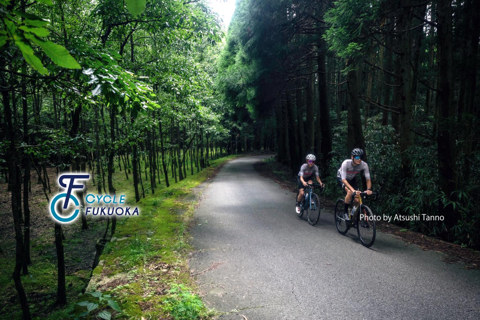
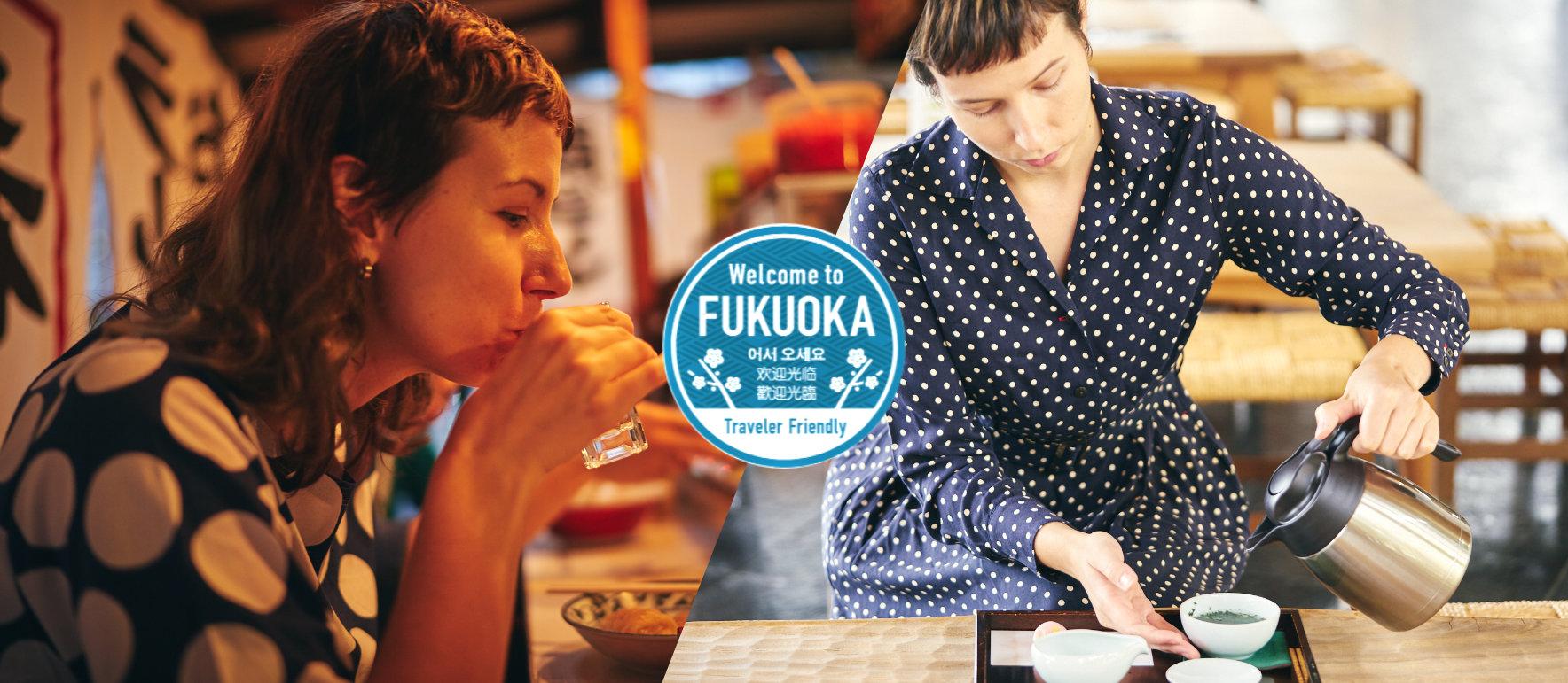
CYCLE FUKUOKA
Enjoy "Cycle Tourism" in Fukuoka, a place where towns and the great outdoors co-exist.
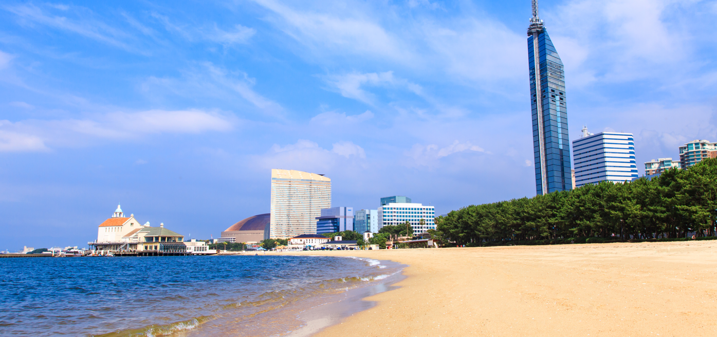
While Fukuoka is the biggest city in Kyushu,
it also offers the best urban experience while also offering easy access to an abundance of beautiful natural spots,
with world heritage sites near the ocean and in the mountains, historic towns, tranquil country landscapes and various other vistas and views.
Ride a bicycle. Enjoy a wonderful trip here.
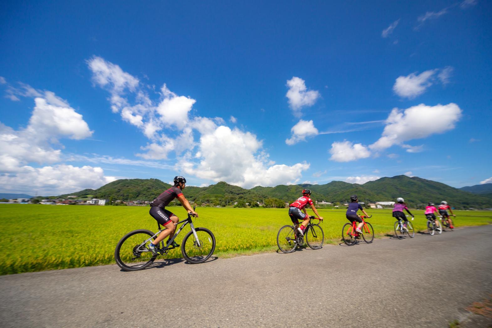
Long Distance Rides
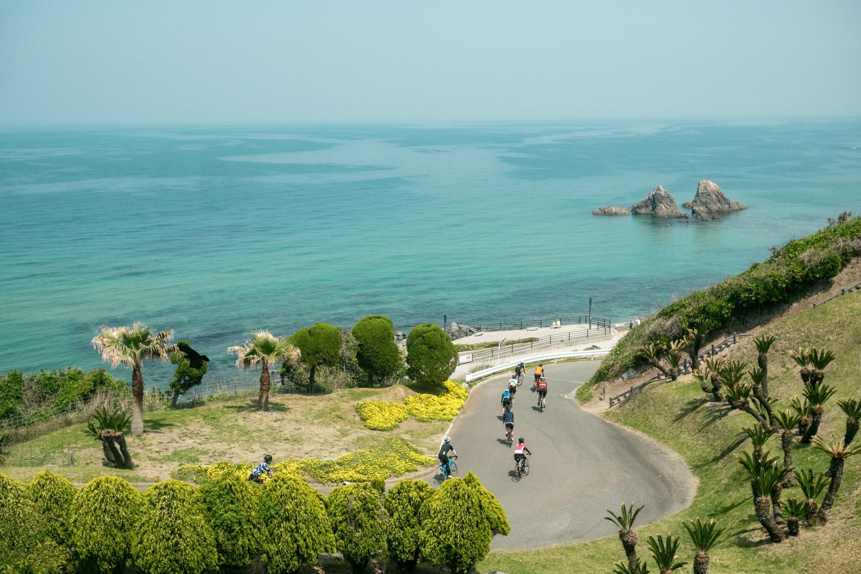
Fukuoka-Itoshima Route
A popular cycling route, covering both famous places by the sea and a range of cafes in Fukuoka.
【Route Length】Approx. 78 km
【Elevation】Approx. 253 m
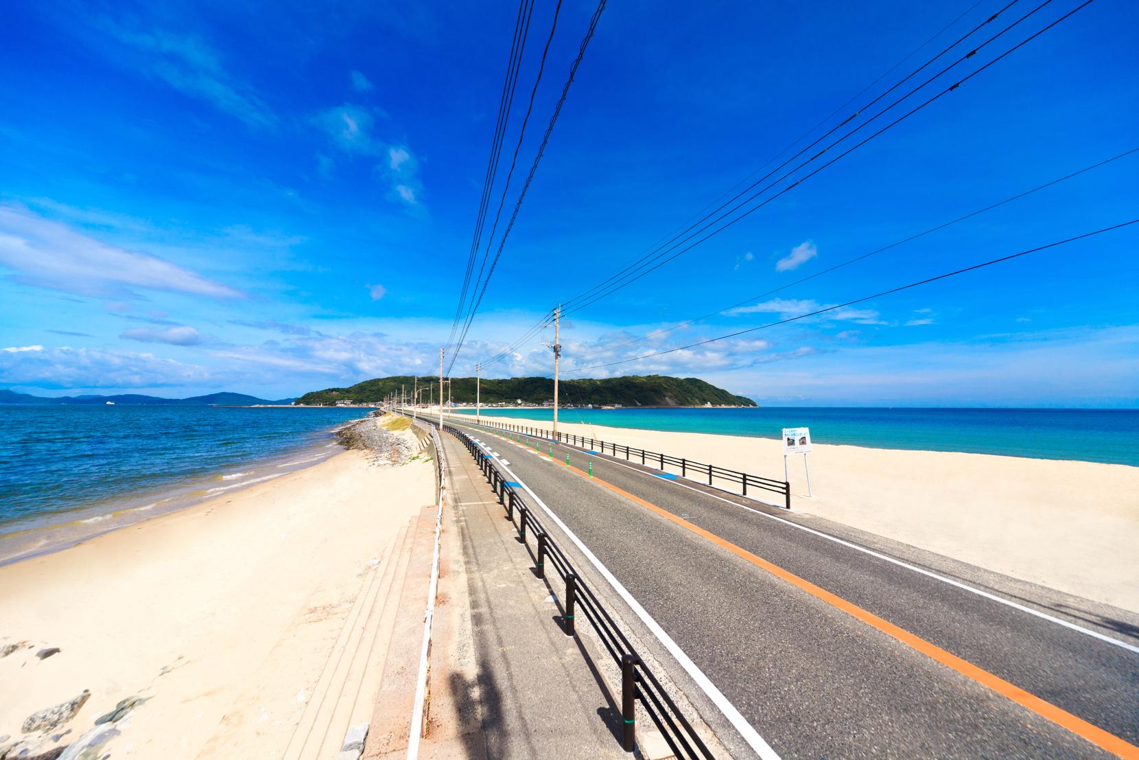
Munakata-Shikanoshima Route
Enjoy the sea breeze while also jumping back in time on this route that covers Fukuoka's history
【Route Length】Approx. 51 km
【Elevation】Approx. 146 m
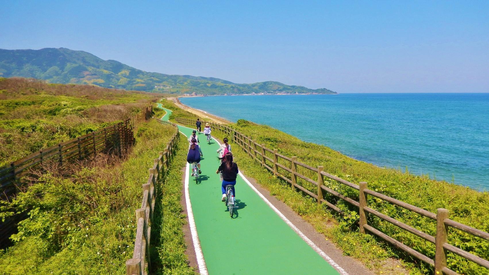
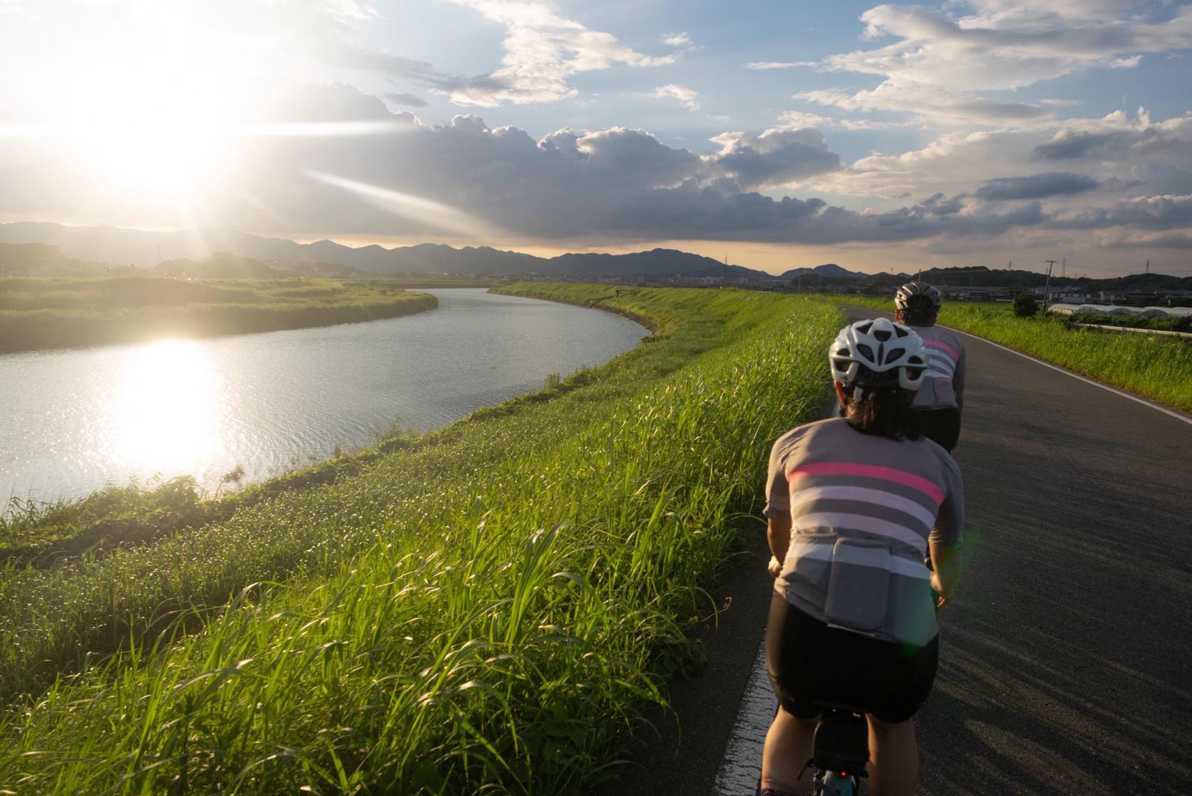
Munakata-Nogata Route
From ocean vistas to the Onga River, a route where you can enjoy the changing scenery
【Route Length】Approx. 39 km
【Elevation】Approx. 54 m
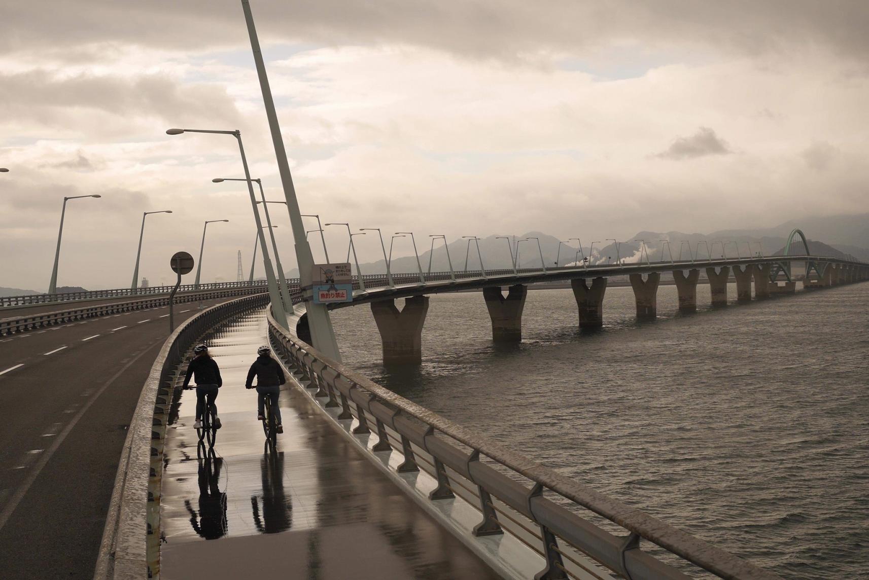
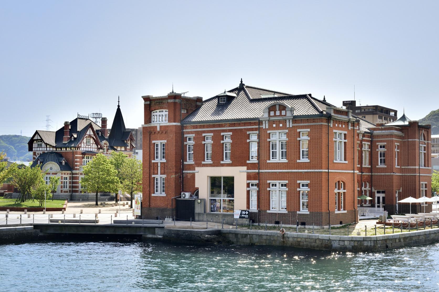
Kitakyushu (Moji)-Keichiku Route
A route full of all the charm of the Kitakyushu and Keichiku areas, from the ocean to the countryside, and historical towns
【Route Length】Approx. 89 km
【Elevation】Approx. 323 m
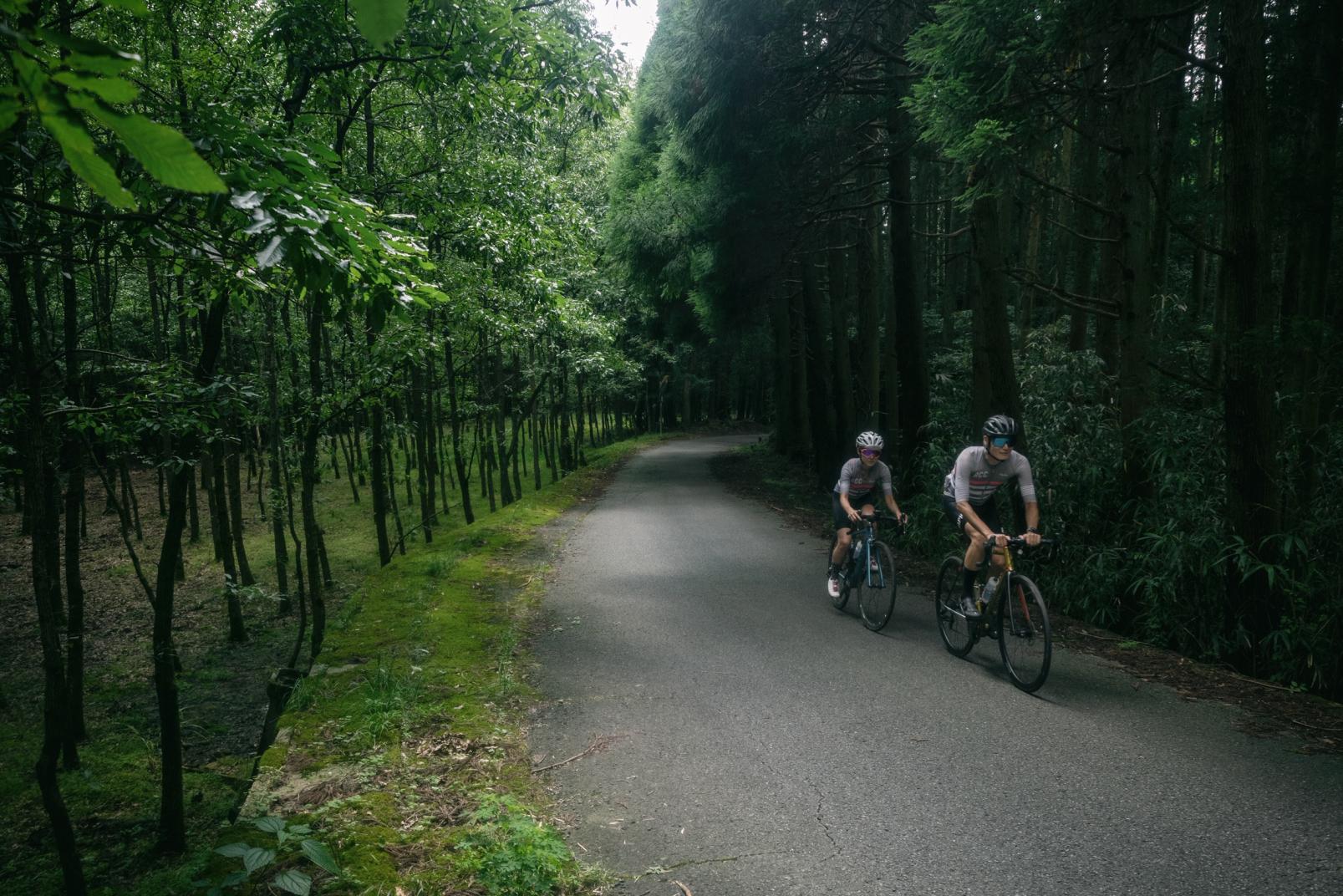
Asakura-Tachiarai Area Route
A mountain route with forest breezes and glimpses into castle town history and culture
【Route Length】Approx. 73 km
【Elevation】Approx. 578 m
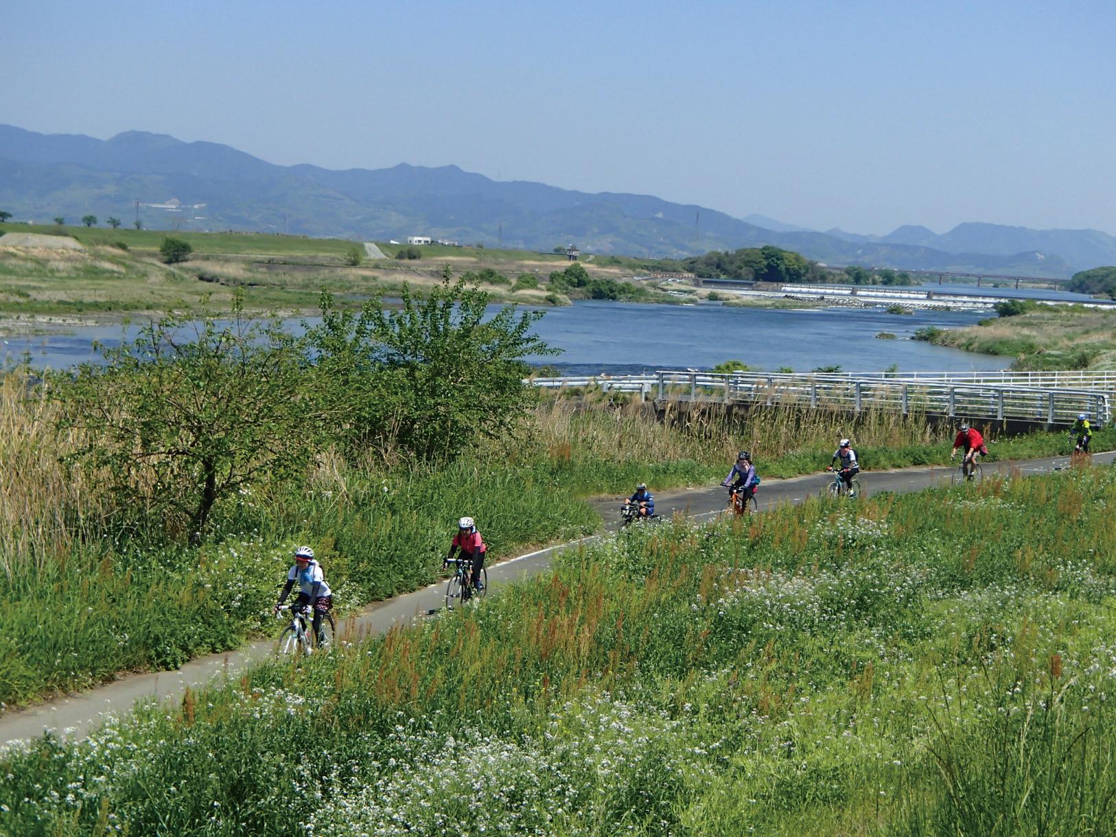
Kurume-Ukiha Area Route
Enjoy the evening sun over the Chikugo River along with rural landscapes and orchards on this satisfying route
【Route Length】Approx. 77 km
【Elevation】Approx. 132 m
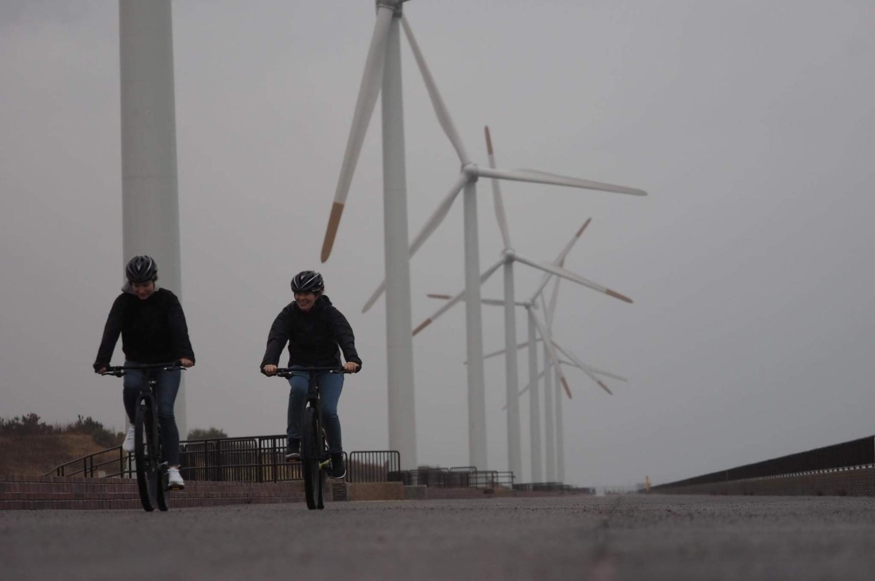
Kitakyushu (Moji)-Ashiya Route
A route that combines historical townscapes with fresh ocean breezes, scenic nature, and boats
【Route Length】Approx. 44 km
【Elevation】Approx. 118 m
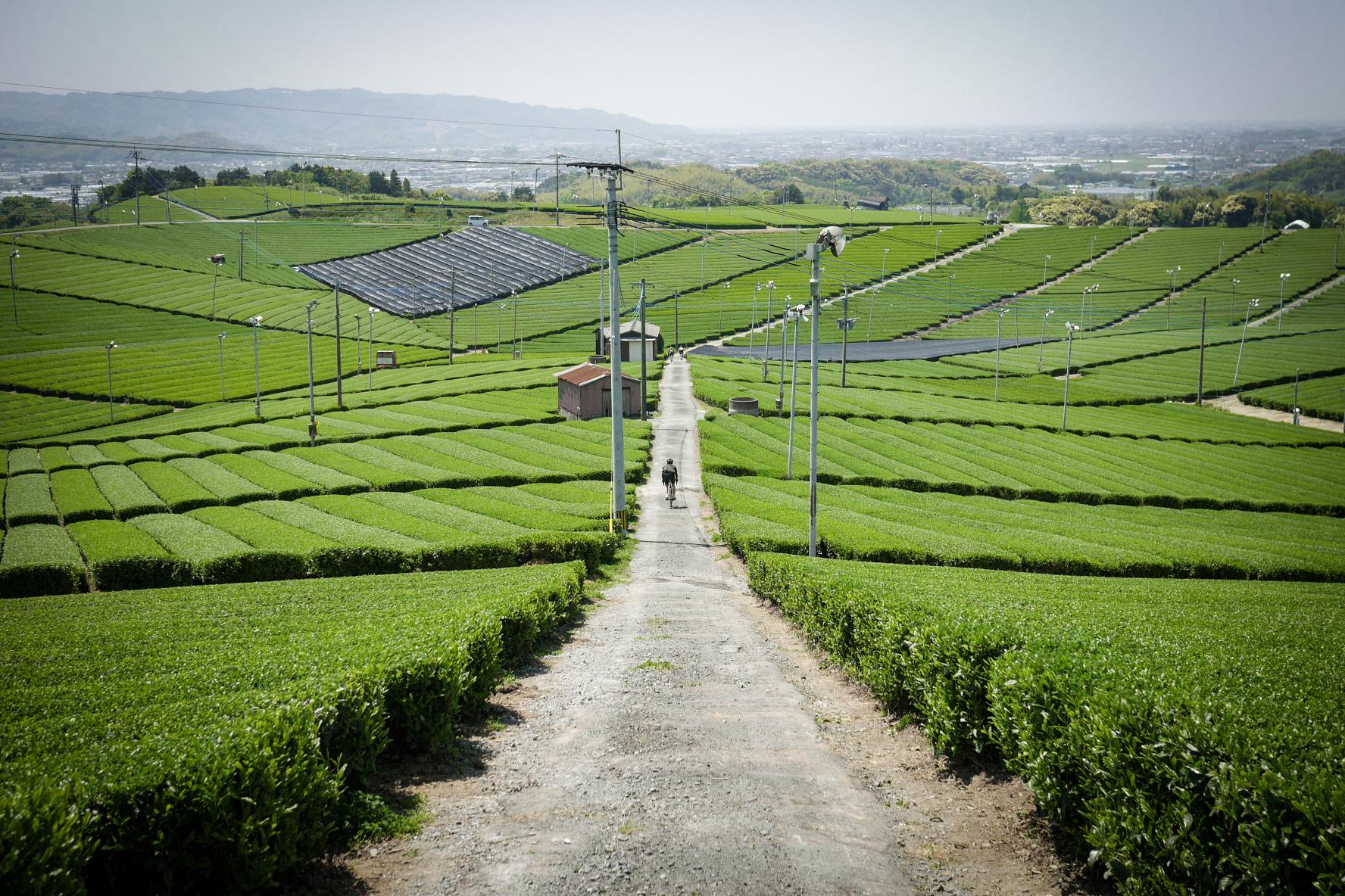
Chikugo Area Route
Feel the history and culture of Chikugo, along with the aroma of tea on this route
【Route Length】Approx. 55 km
【Elevation】Approx. 90 m
Buzen-Toho Route
At an elevation of more than 1,500m! Fukuoka's most difficult!? Mt. Hiko range route
【Route Length】Approx. 61 km
【Elevation】Approx. 1599 m
Nakagawa-Omuta Route
Ride from the mountains to the town and enjoy the changing scenery on this up-down route
【Route Length】Approx. 86 km
【Elevation】Approx. 893 m
Nogata-Kama/Chikuho Area Route
A route where you can enjoy the scenery of the Onga River and Chikuho area, along with delicious sweets
【Route Length】Approx. 110 km
Via KawaraApprox. 71 km /Via IizukaApprox. 39 km*
【ElevationApprox】Approx. 923 m
Via KawaraApprox. 923 m /Via IizukaApprox. 307 m*
* Route from Nogata Station to sleepy cafe nico
Bicycle Safety Rules

Services for Cyclists
Events
MOVIE
Share
 Next article for you
-

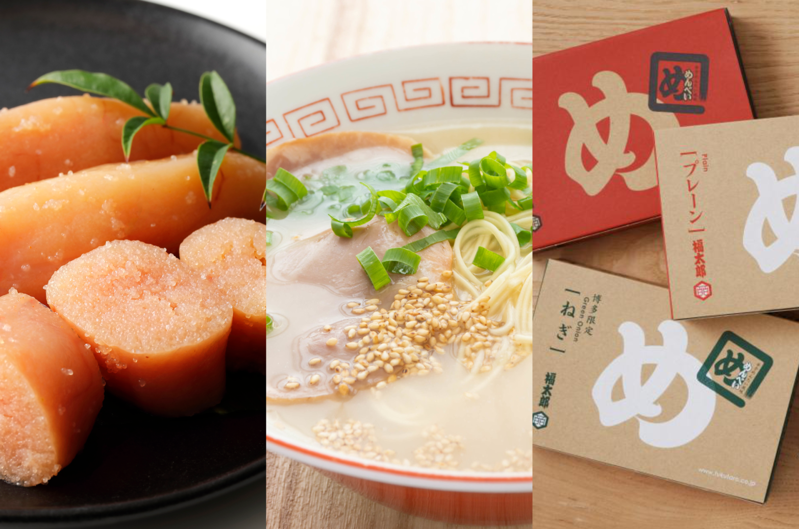
10 Recommended Dishes in Fukuoka! Discovering the Region’s Finest Foods
-
Here are the most popular souvenirs of Fukuoka that you won’t want to miss!
-
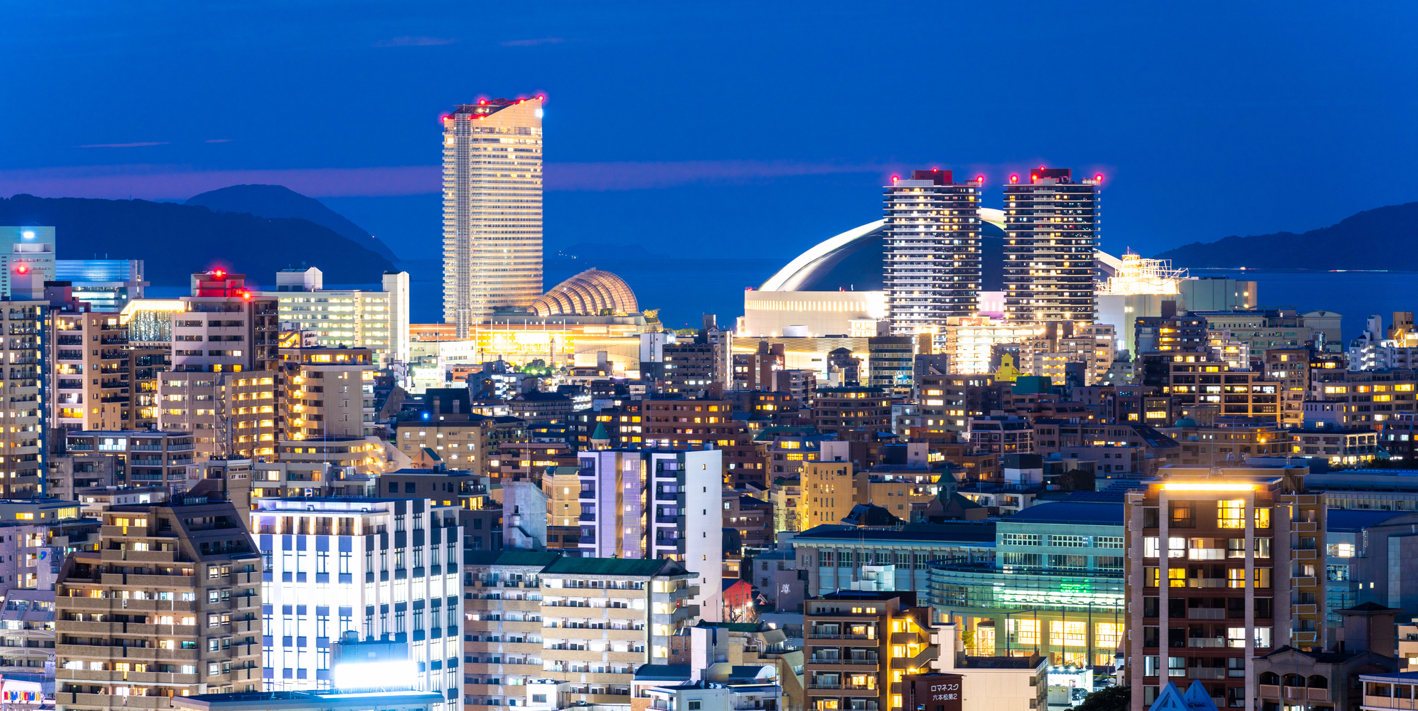
TIPS FOR TRAVELING IN FUKUOKA PREFECTURE
-
10 Recommended Shrines and Temples in Fukuoka!
-
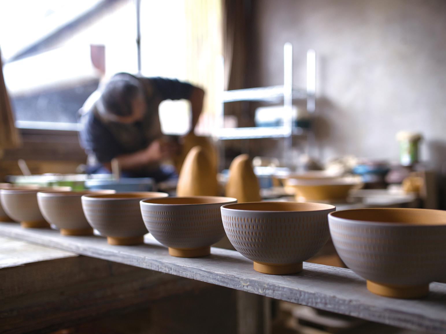
TRADITIONAL JAPANESE CRAFTS OF FUKUOKA ~Present Day Breath-taking Craftsmanship~
-
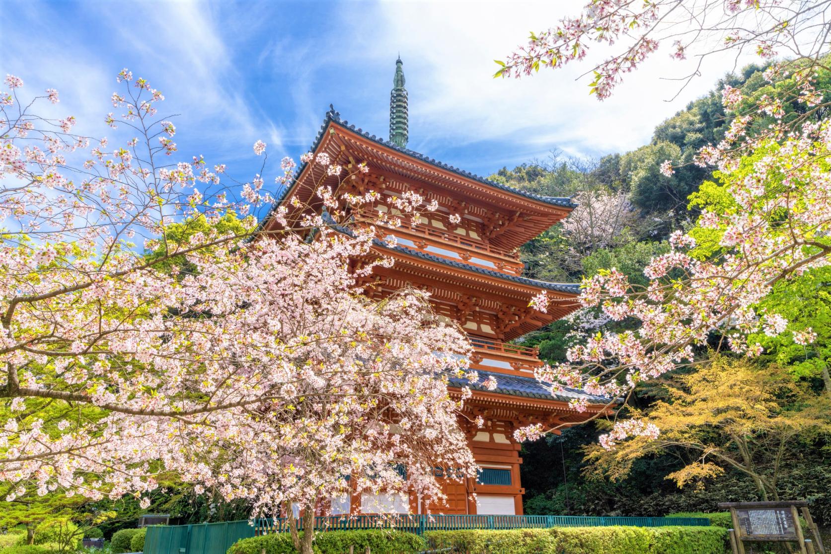
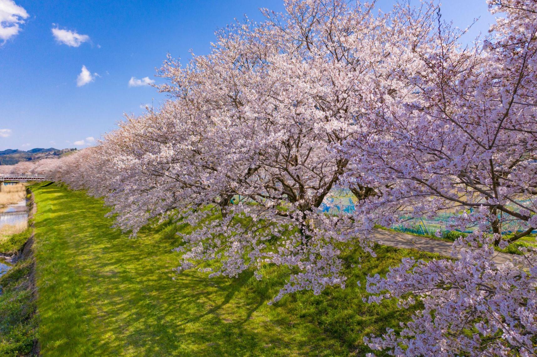
![[2024 Edition] The Best Places to See Cherry Blossoms in Fukuoka-1](https://www.crossroadfukuoka.jp/storage/special_features/38/responsive_images/q0hE9tjduBiHqz9D4hlPG9Rx4qnsyGjp3aFupoG1__1673_1115.jpg)
[2024 Edition] The Best Places to See Cherry Blossoms in Fukuoka
-
Enjoy your trip to Fukuoka in your own way! Here we introduce shops that cooperate with inbound tourism.
-
Local Life in Fukuoka City: Art, Beaches and Coffee
-
How to experience Mojiko Retro in Kitakyushu
-
Ukiha, The Charming Spell Of The Countryside
-

Enjoy Fukuoka, Rain or Shine: Indoor Spots in the City for a Fun Outing
-
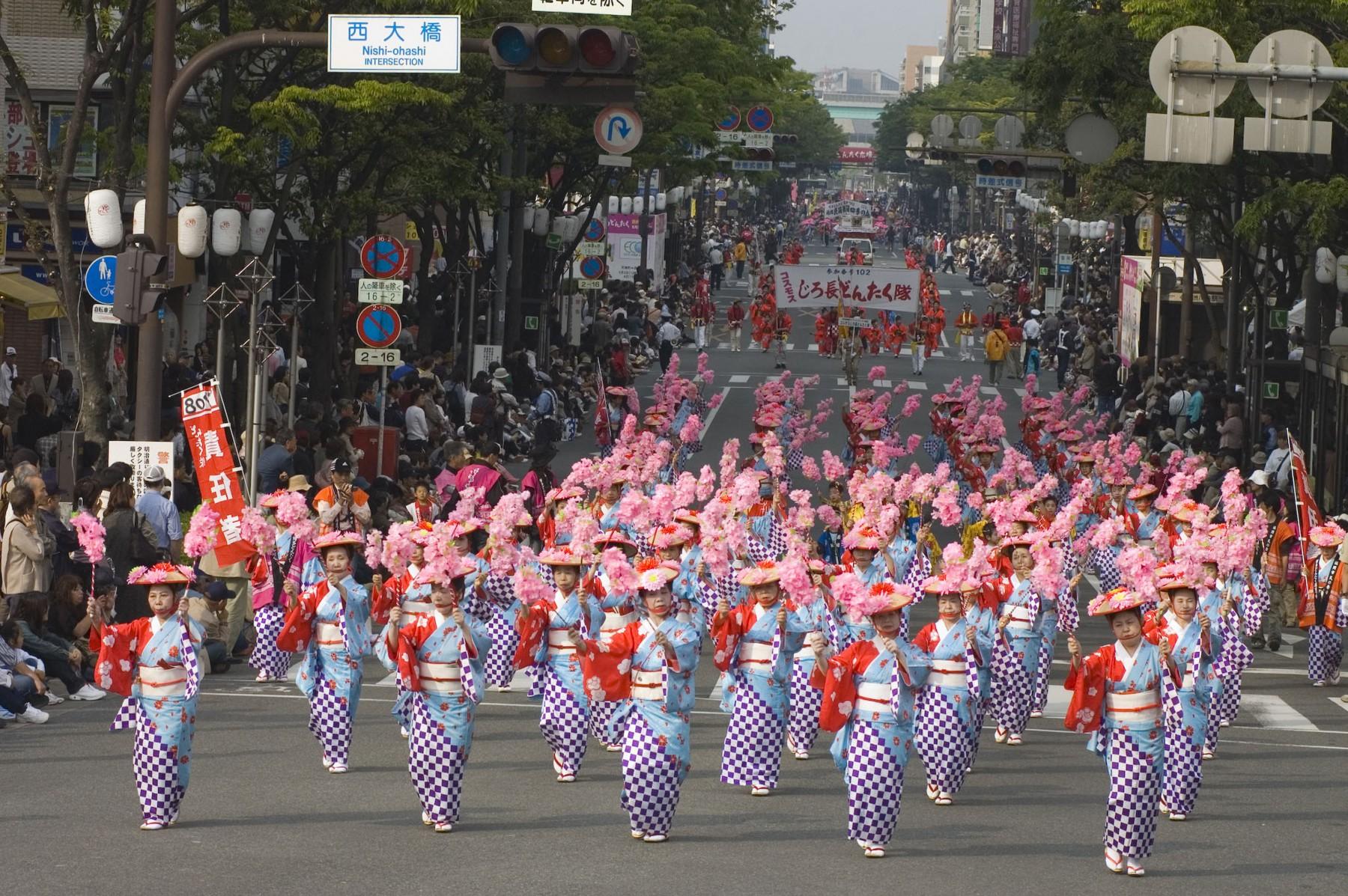
Matsuri in Fukuoka Prefecture
-
![[2023 Edition] Your Guide to Fukuoka Prefecture's Best Fall Foliage Destinations-1](https://www.crossroadfukuoka.jp/storage/special_features/279/responsive_images/49m7voPHQ1J9tJsmiguwSxPT6qZON51ATRvm5NJK__1673_1115.jpg)
[2023 Edition] Your Guide to Fukuoka Prefecture's Best Fall Foliage Destinations
-
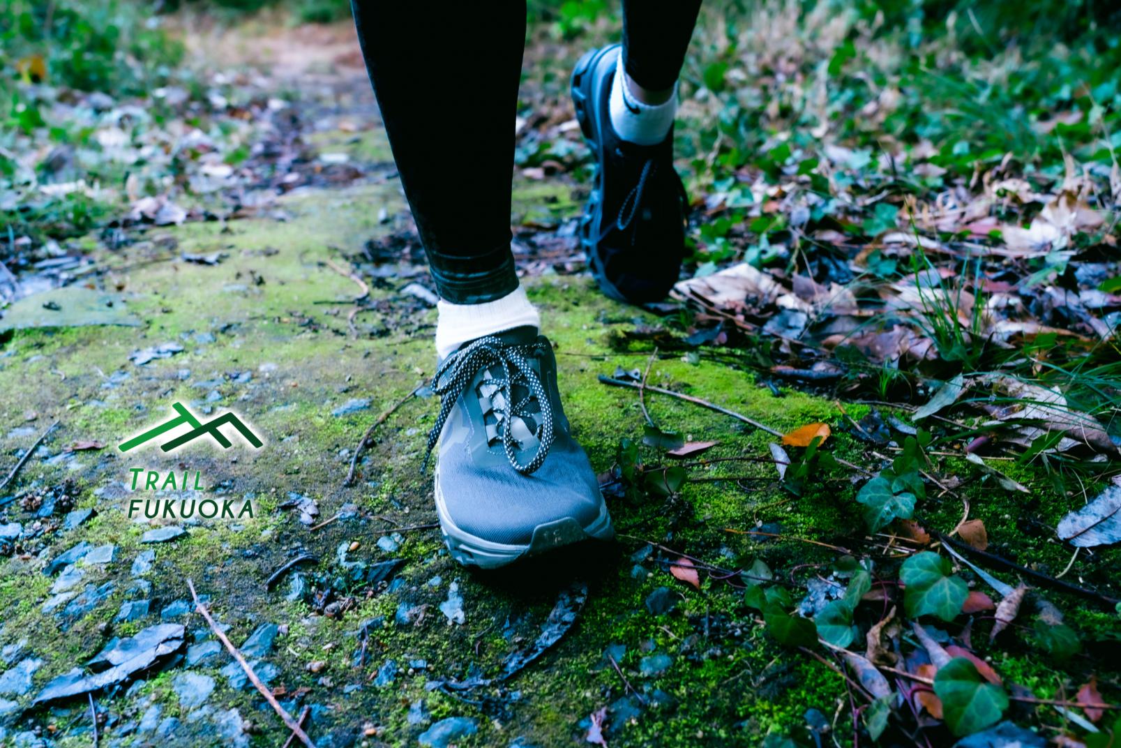
TRAIL FUKUOKA
-
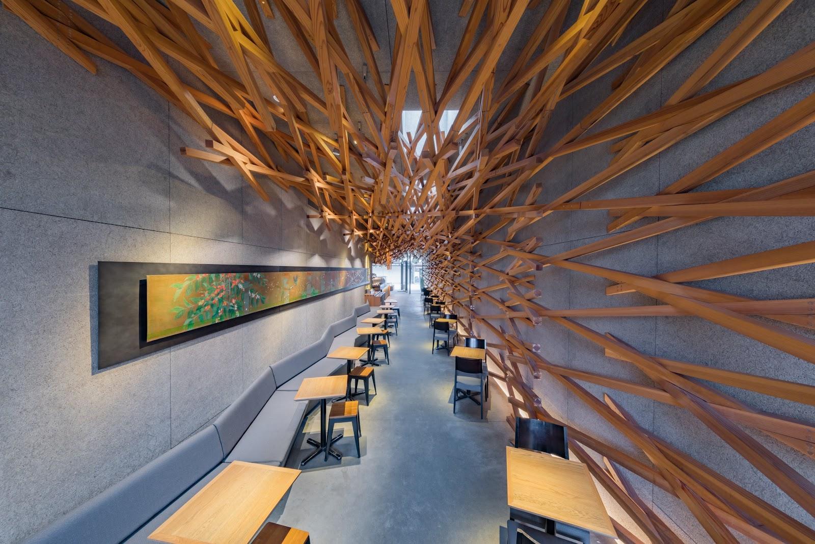
Fukuoka Prefecture, Kyushu’s Architecture Wonderland
-
Nature Lovers! A Guide To The Good Vibes Of Fukuoka's Great Outdoors
-
![[2023 Edition] Strawberry Picking Spots in Fukuoka-1](https://www.crossroadfukuoka.jp/storage/special_features/49/responsive_images/9ZHgrqvQdpH8tM4IRF54DXu0aPBF3YGGkj5WOTGc__1673_1115.jpg)
[2023 Edition] Strawberry Picking Spots in Fukuoka
-
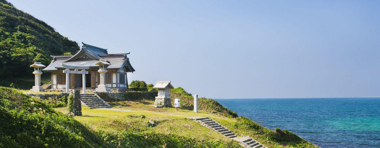
Culture and Heritage
-
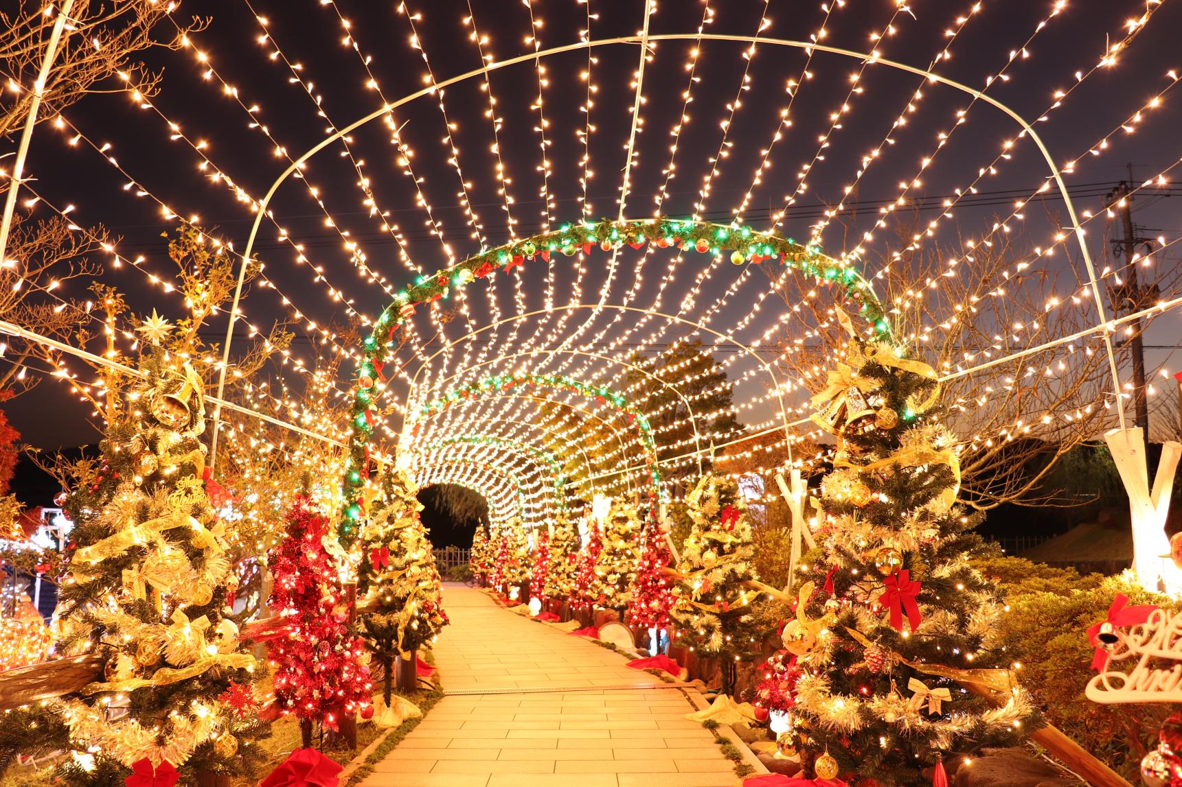
【2023~2024】Light up places in Fukuoka
-
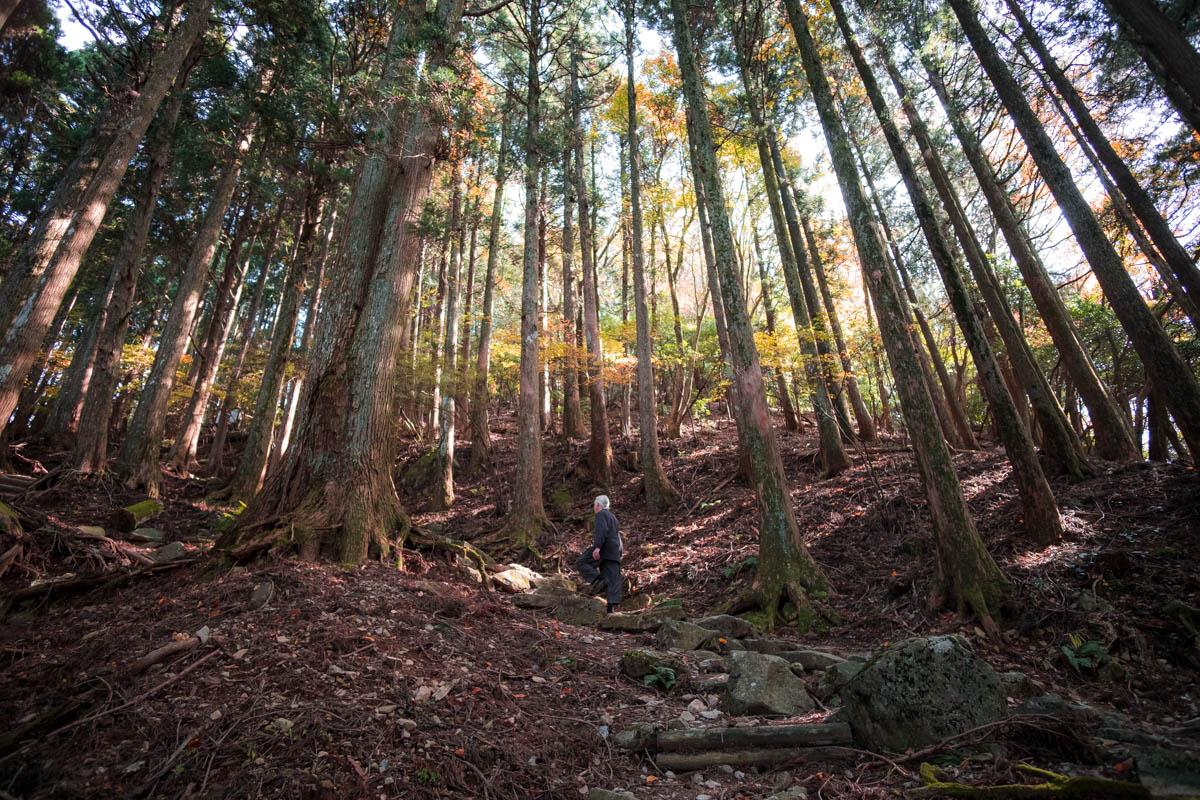
Mt. Hiko: Fukuoka's Sacred Mountain, Pilgrimage Route, and Autumn Leaves Spot
Mt. Hiko: Fukuoka's Sacred Mountain, Pilgrimage Route, and Autumn Leaves Spot